
Five live places. Step into any of them.
Official land, engineering and environmental records turned into places you can fly through, question and share. Each runs in your browser on open data and names its sources.

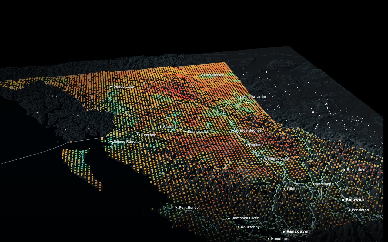 Decision tool
BC Land LensOne map, five questionsChoose who you are; every place answers you first.
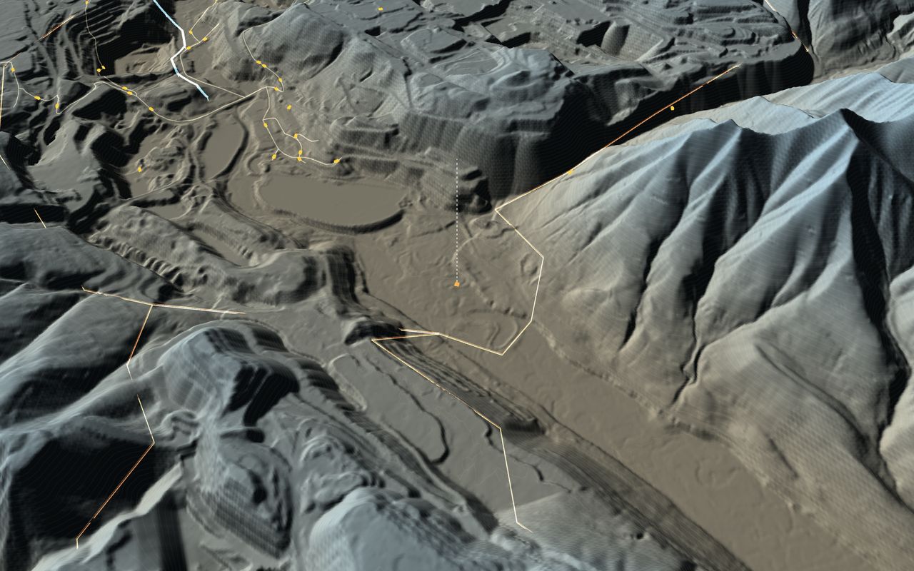 Terrain
BC minesFrom the province to the pitEvery producing mine on its rock; three to go inside.
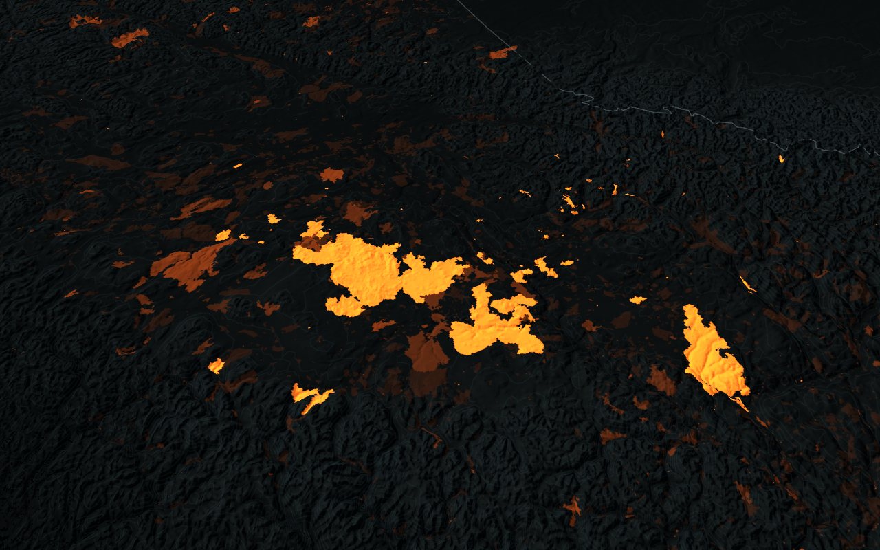 Live
BC forests1900 to todayHarvest, every mapped fire and the satellite record.
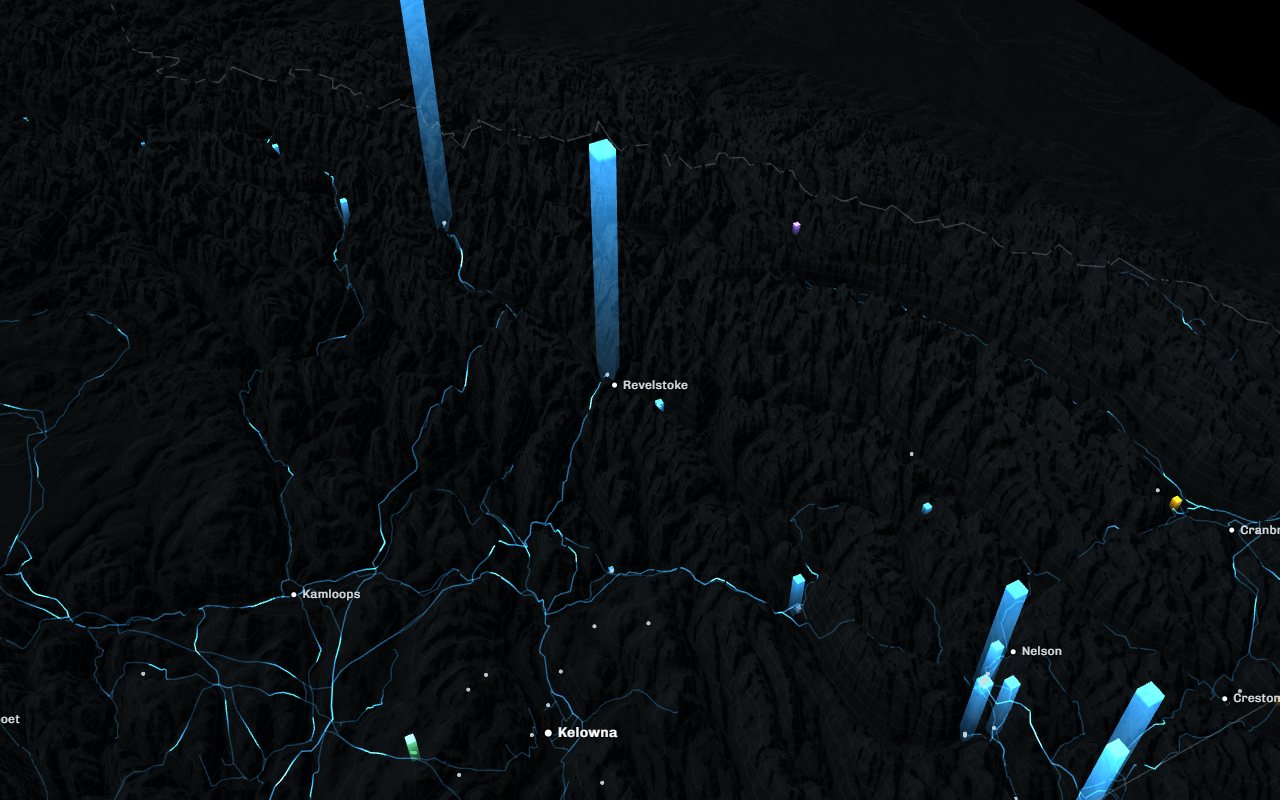 Network
BC energyFrom water to wireStations, wind turbines, large dams and the high-voltage grid.
What we build for you
Digital twins
A site, a district or a corridor as a living 3D model, joined to the records and feeds you already keep.
Decision tools
Role-based views that answer each person's question first, with the evidence one click away.
Terrain and plans
Official elevation and imagery with your plans placed on true coordinates, for meetings and approvals.
Live dashboards
Season replays and current conditions from public feeds: fire, weather, air, permits.
Offline applications
Runs on a laptop or a meeting-room screen with no connection, for the field and the community hall.
Films on real ground
Cinematic aerial sequences that land exactly on the plan, made with the same data.
How we handle data
Every figure on screen is calculated from its source, and anything illustrative is marked as such.
Official and open data first, with each dataset and its licence named on the page.
We work to your access rules and publish nothing about your land, your people or your projects without your approval.